R3GIS is actively collaborating with the Municipality of Rome to implement the GreenSpaces platform, the advanced system for urban green management. Since last year, a systematic work process has been undertaken with the updating of the green cadastre, which started from the Municipality XIV as a test area and aims to complete the data of all green areas in the 15 municipalities of Rome by the end of the year. This process includes:
Definition on a map of green areas, play areas, dog areas and other types of public spaces.
Inclusion of the elements present in the areas that are managed in GreenSpaces, from trees to playground equipment, benches, wells, etc.
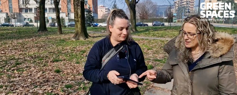
Geolocation via Mobile App of items surveyed directly in the field.
A particularly innovative aspect of the project is the integration of artificial intelligence to create digital twins of trees. Currently in use for the street trees on Cristoforo Colombo Avenue, the intention is to extend it to all street trees in Rome by the end of 2025. The digital twin enables monitoring of the health status of the trees, contributing to the safety of public places and the assessment of ecosystem services. In addition, to communicate the value of urban greenery to citizens and actively involve them in its management, a public portal is planned to be created by the end of 2026.
R3GIS also plays a key role in training the technical staff of the City of Rome's various departments involved for an optimized implementation of the GreenSpaces software.